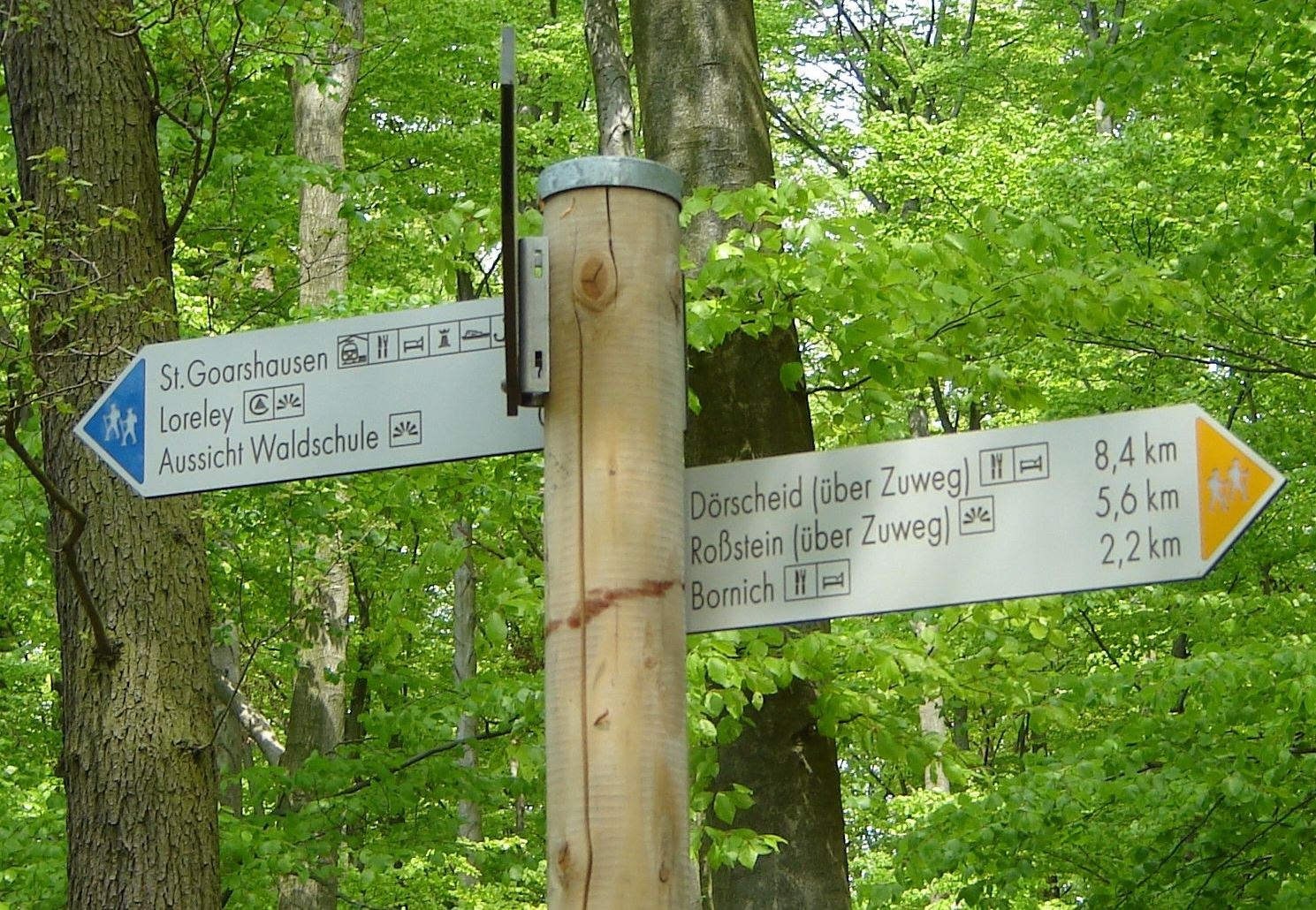
Signposts with a blue triangle indicate distance along the RheinSteig. The ochre-yellow signposts indicate access routes either from stations and town/village centres to the RheinSteig or vice versa.
NB: The RheinSteig is frequently not the shortest route between towns/villages or places of interest, but it is certainly the most attractive. We therefore recommend that you use topographical hiking maps that also show other footpaths. This will allow you to plan short cuts and circular walks better.
Each signpost carries a location sign. This shows the Universal Transversal Mercator coordinates as well as the height above sea level and the location. These UTM coordinates enable users of a GPS (global positioning system) device to locate their position.
The location sign also displays the RheinSteig walker information telephone number (01805-648 328, €0.14/min.). Callers are currently directed to the tourist information office of Romantischer Rhein Tourismus GmbH; this provides competent tourist information.
The number can also be used for reporting problems with the trail or signposts.