00:00 - 23:59
Ruppertsklamm Gorge
an der B260, 56112 Lahnstein
The Ruppertsklamm has been a designated nature reserve since 1936 and is part of the premium hiking trail Rheinsteig as well as the quality hiking trail Lahnwanderweg.
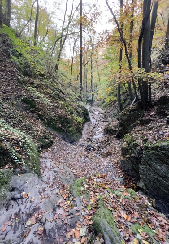
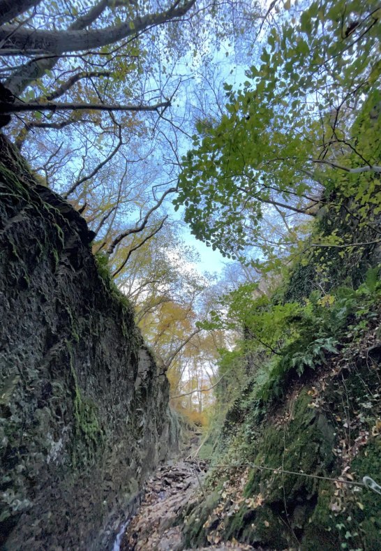
The 1.5 km long wild and romantic Ruppertsklamm is an adventure of a special kind within these hiking trails.
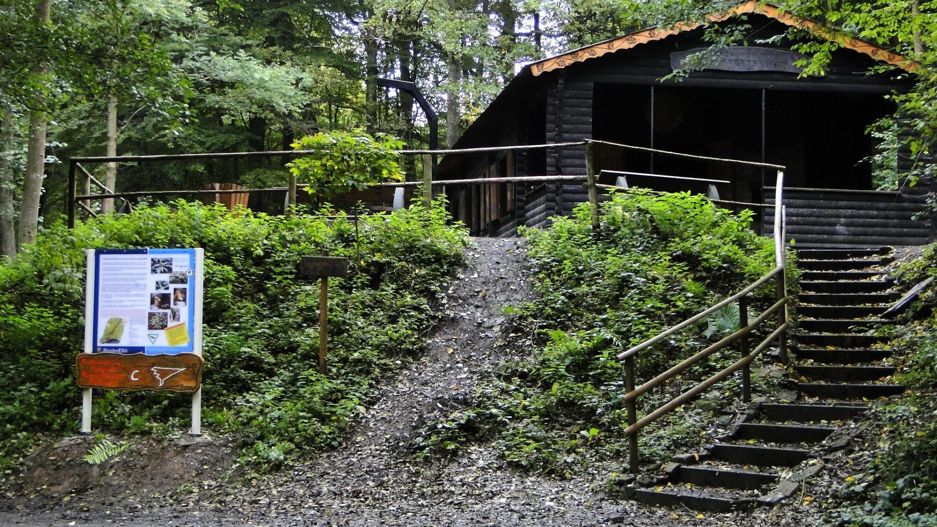
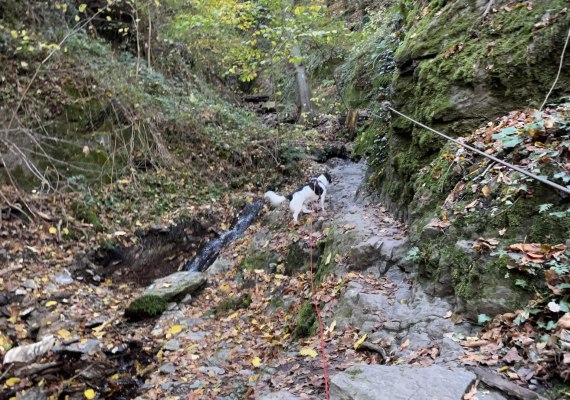
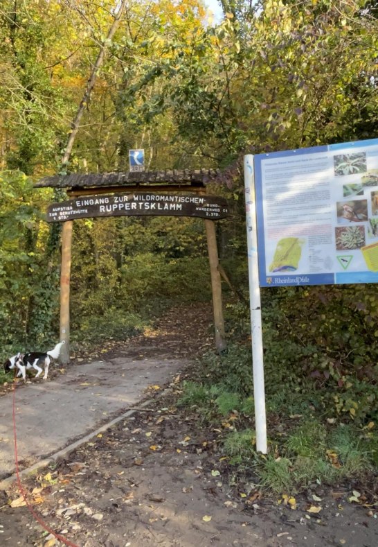
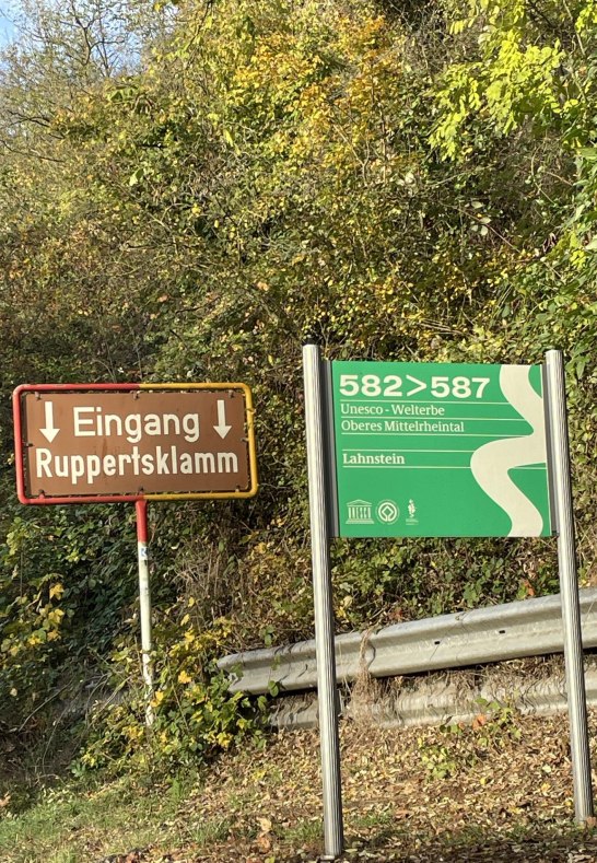
A large wooden archway marks its entrance. The path leads over small bridges, wooden walkways, and adventurous passages, past several waterfalls until reaching the shelter that invites you to linger.
* Notes: The hike to the shelter takes about 45 minutes, with a height difference of 235 m. Sturdy footwear is highly recommended! There is parking available on the left side of the B260 towards Bad Ems.
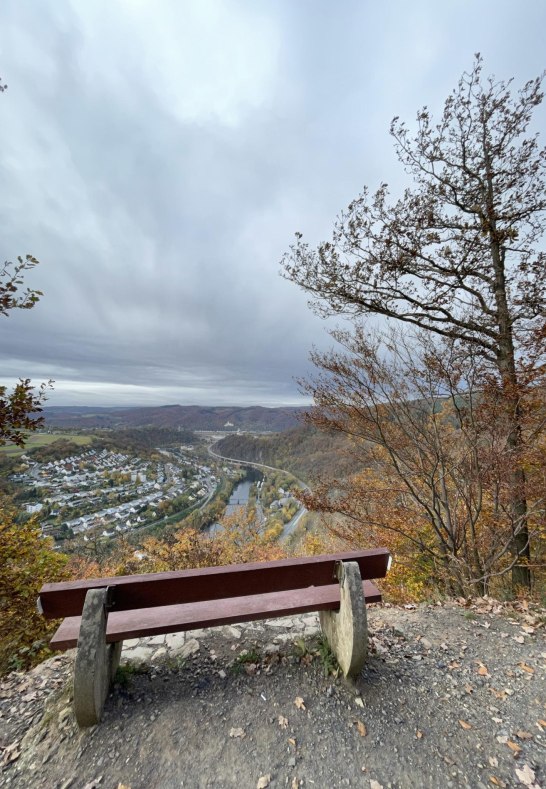
The rocky gorge is a section of the premium hiking trail "Rheinsteig" (Blue "R") and the quality hiking trail "Lahnwanderweg," also known as Lahnhöhenweg (L). At the end of the gorge, there is a shelter. From here, a wide hiking trail leads back towards "Allerheiligenberg," passing the viewpoint "Uhuley" with a fantastic panoramic view of the Lahn Valley.
The nature lover and railway telegraphist Theodor Zais made the inaccessible places passable with bridges, stairs, and ropes from 1910 to 1912. A stone plaque built into the rock in the middle of the rocky gorge commemorates the developer of the gorge. Since 1936, the 11.6 hectares with creek and gorge forest have been a nature reserve.

